DEMYSTIFYING PHOTOGRAMMETRY
At its core, Photogrammetry is the science of using photographs to deduce the geometric properties of objects. For projects involving Photogrammetry Mapping Fort Wayne, the result is a 3D representation called a “Point Cloud” – a dense collection of points in a 3D space. This can be visualized as a 3D scatter plot, with each point representing a tangible point on an object or land area. With added functionalities, such as applying 3D meshes, point clouds can be transformed into detailed models suitable for various applications, from measurements to inspections.
CONTACT US
The OcculAIR Difference
Progress is always accessible
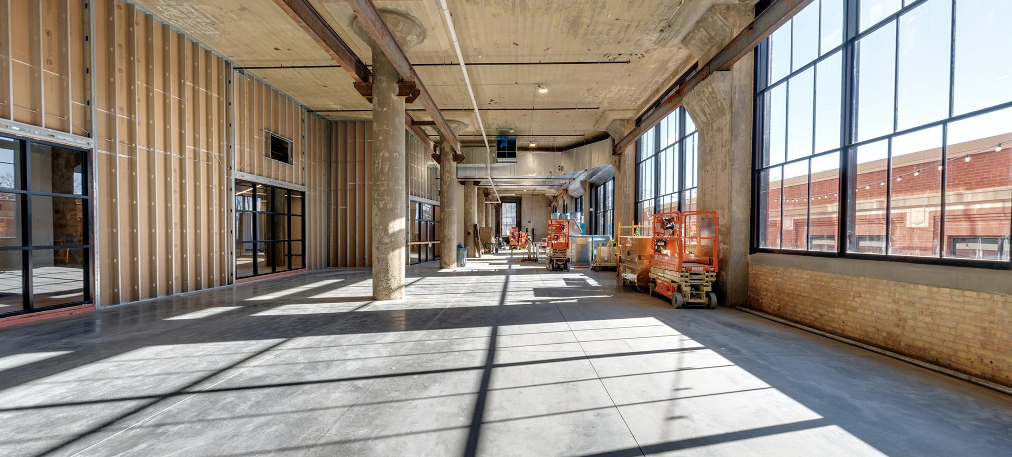
Offer stakeholders a peek into your construction projects without the hassle of on-site visits. Our tours are crafted to present an in-depth look into every stage of your project.
Detailed and thoughtful approach
Our focus isn’t just capturing images. We prioritize the essence and intricacies of your construction site. From groundworks to finishes, each tour is a reflection of our commitment to excellence.
OCCULAIR’S MAPS & MODELS SERVICE
Expanding on our photogrammetry expertise, OcculAIR’s Maps & Models service offers highly detailed, accurate maps and 3D models that support site planning, design, and project management. Our Drone Photogrammetry Services Fort Wayne combine advanced drone technology with LiDAR scanning to generate data-rich models, serving as a reliable foundation for planning, inspections, and informed decision-making.
Key Services:
CONTACT US
- Aerial Photogrammetry Services: Use drones to create detailed orthomosaic maps.
- 3D Site Mapping: Generate interactive 3D models of the site using 3D Photogrammetry Mapping for better planning and visualization.
- Terrestrial LiDAR Scanning: Capture high-density data to create accurate models of complex environments.
Benefits:
- Improve site planning accuracy.
- Gain real-time insights for better decision-making.
- Identify and resolve potential issues early in the project lifecycle.
THE PHOTOGRAMMETRY PROCESS
- Capture: Using drones or ground-based cameras, thousands of photos may be taken for a single site. Automation and pre-programmed routes ensure a high degree of overlap between images and optimal site coverage.
- Ground Control Points (GCPs): For heightened accuracy, GCPs are positioned on the site. Using GNSS RTK receivers, these target locations are captured, aiding in the image processing phase.
- Processing: With tools like DroneDeploy or Pix4D, the processing begins. How does it work? Advanced algorithms identify common points across multiple images, and via triangulation, these points are positioned in 3D space. This process repeats millions of times to birth the point cloud.
Our process
01
Reach out
Begin by detailing your requirements. Upon receiving your request, you’ll get a confirmation through a dedicated portal where all communications and files will be centralized.
02
Capture session
Our experts will arrive on-site to capture high-fidelity visuals, ensuring every detail is highlighted.
03
Tour presentation
Within 1-2 weeks, get a preliminary view of your tour. Fine-tune it as per your preferences before finalizing.
APPLICATIONS OF PHOTGRAMMETRY
The versatility of Photogrammetry Mapping Fort Wayne is evident in its myriad of applications:
- As-Built Measurements and Verification
- Façade Inspection
- Erosion Management and Monitoring
- Excavation and Earthworks with Cut/Fill Analysis
- Topographic Analysis
- Project Planning and Design
- Historical Documentation
- BIM, Digital Twins, and Digitization
Beyond the technicalities, it’s worth noting the aesthetic appeal. Photogrammetric models not only serve functional purposes but are also visually impressive, often wowing clients and stakeholders.
Ready to get started?
THE OCCULAIR EDGE
What differentiates OcculAIR in this domain? It’s not just our proficiency in photogrammetry but our philosophy. We prioritize listening to our clients. We understand that every project has unique needs – sometimes, it’s not about achieving the pinnacle of accuracy but about streamlining processes. We tailor our approach to match the project’s requirements and budget, ensuring optimal results without overwhelming clients with redundant data.
CONTACT US